Health Emergency Response

Major Events
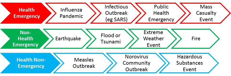
Major emergency or non-emergency (i.e. when we have some warning) events may or may not have health implications or require a health response.
Categories of Events
Events, either natural or man-caused, generally fall into the following categories:
After all such events the first requirement is to assess your capabilities, resources and actions in accordance with your own emergency plan.
This assessment may be followed with contact with your fellow Local Emergency Group (LEG) members and reporting your status to the CPRG Emergency Operations Centre (EOC).
Depending on the health implications and requirements for the response, the CPRG EOC will seek and provide further information to assist in coordinating the response if an activation is necessary. Information will be provided and regularly updated on this website under the Home page, Current Events.
- The organisational responsibilities, roles and structure for an emergency response are contained in the CPRG Primary Care Health Emergency Plan.
- The CPRG Adverse Events Plan can be found here.
- The CPRG Mass Casualty Plan can be found here.
A useful resource that covers people, property, transport, rivers and land can be found on this website. Contributions from a variety of organisations such as Stats NZ, Land Information NZ (LINZ), NZ Transport Agency (NZTA), and NIWA include topographical maps, river lines and watersheds, railway network, and much more.
It is recognised that a mass casualty event involving road, rail or air transport will generally only involve specialist clinics and/or those in nearby practices and PRIME responders.
Alpine Fault
Project AF8 is a cutting edge, risk scenario-based earthquake response planning project. The focus of the project is the Alpine Fault. Health emergency planners from throughout the South Island, including representation from CPRG, joined CDEM representatives to discuss and plan for the health response to such an event.
The Alpine Fault is estimated to regularly produce an approximately Magnitude 8 earthquake, with a statistical return rate of 300 years. The last such quake being 299 years ago. Lessons from previous earthquakes and the responses to them, as well as other significant recent disaster responses, have indicated a need for more sophisticated hazard-specific planning.
Project AF8 began in July 2016 with funding from the Ministry of Civil Defence and Emergency Management’s Resilience Fund, and is managed by Emergency Management Southland, on behalf of all South Island CDEM groups.
Weather Events
With climate change, we can expect more significant weather events and disasters like flooding and fires. While responses to these will chiefly be the responsibility of Civil Defence, city and local authorities, there may also be a health component that we need to prepare for. Air quality, water quality, the effect of sequential hot days, will all impact on our communities.
Tsunami
In case you’re interested, there are some interesting maps and other tools on the website Canterbury Maps. Search for ‘tsunami’ to find detailed maps about projected risk of tsunami for the Canterbury region. For more information about tsunamis and flood risk, see Environment Canterbury’s website here.
Hikurangi Tsunami Workshop 30 August 2024
There have been a number of workshops with Civil Defence, Christchurch City Council, and other emergency agencies to discuss risk and preparations for natural disasters such as a tsunami. There is modeling being produced and updated regularly, which can be found here. Our Canterbury coastline has a high risk of local and regional source tsunamis, such as the Hikurangi subduction zone and the Puysegur Trench. Notes from the workshop can be found here.